Honeymoon in Mauritius
Exploring Mauritius by car
Third Trip - Part 1
July 2015
Trip summary
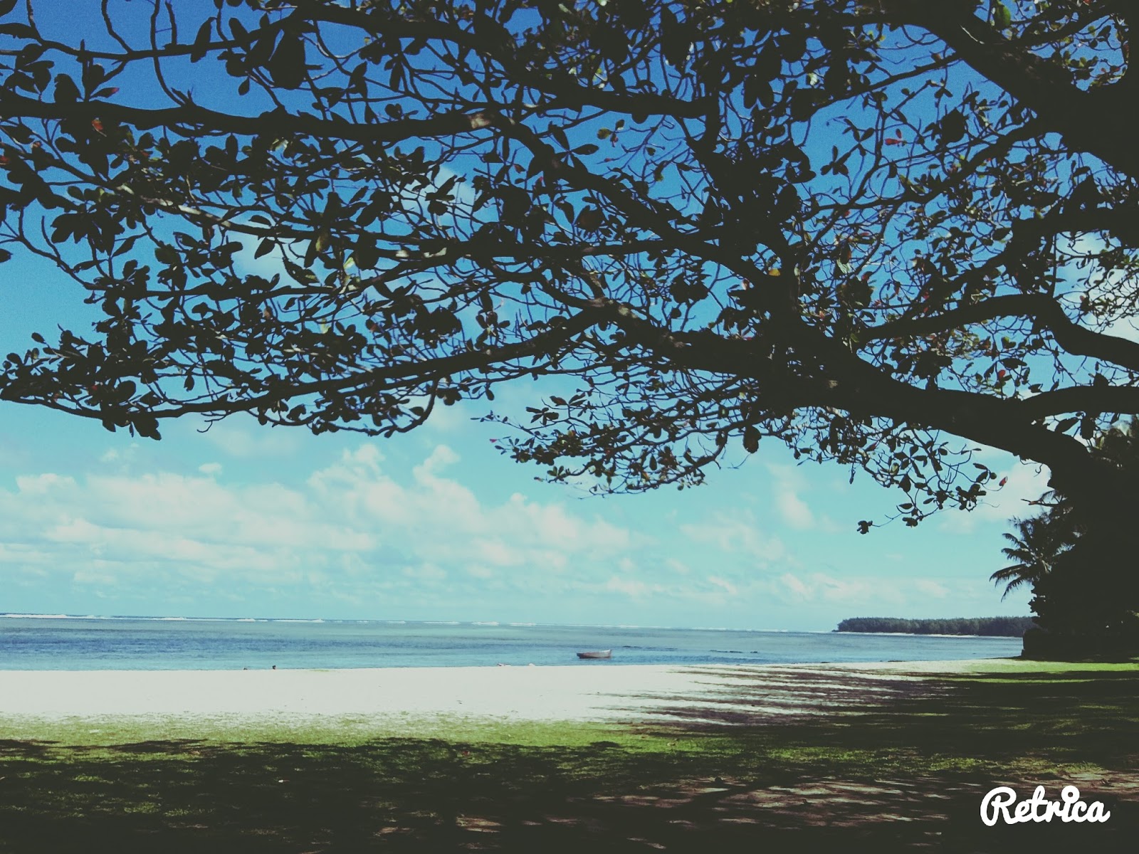
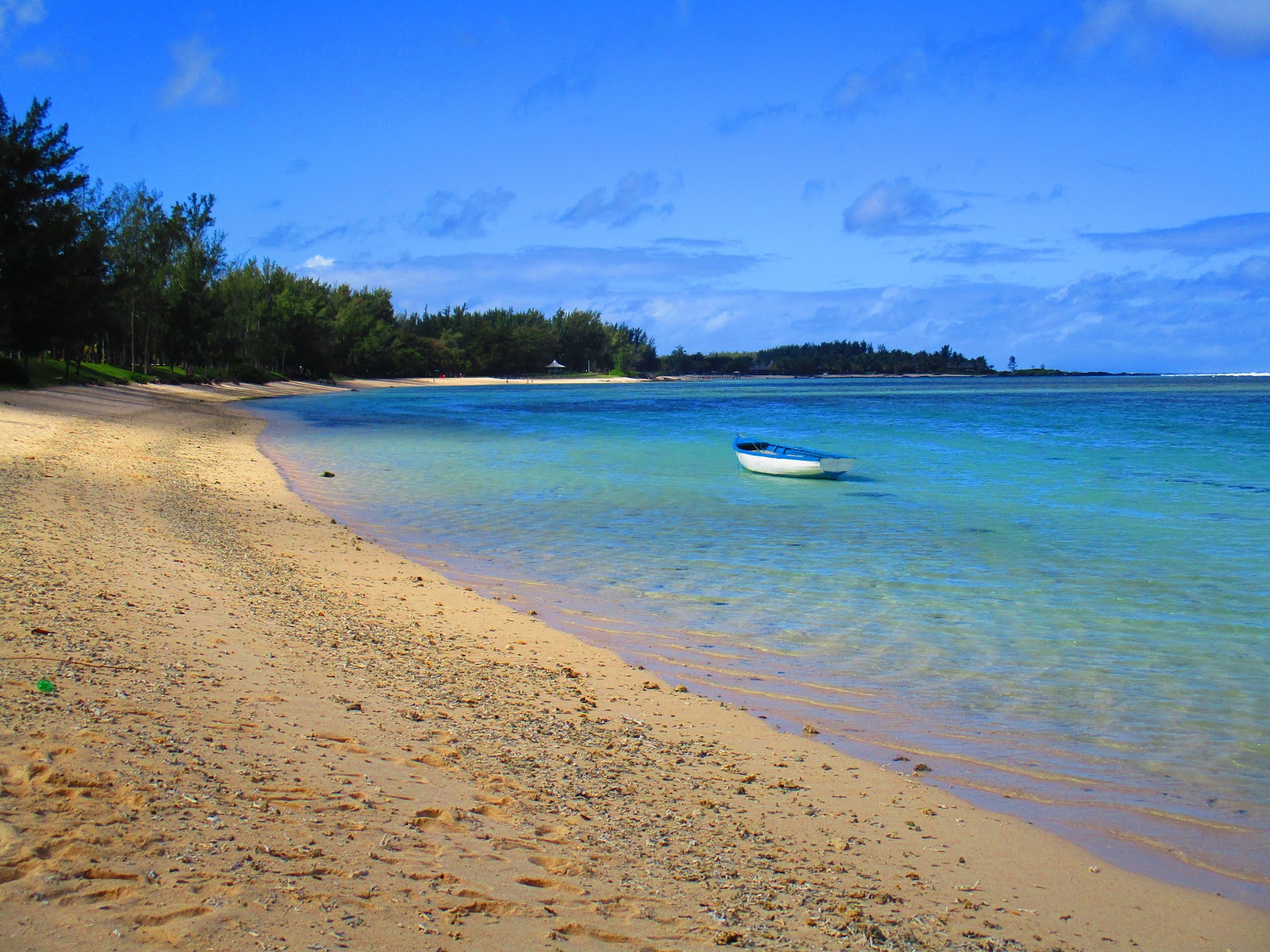
We started our day trip from Preskil Beach Resort where we rented a Hyundai i10. We drove through the town of Mahebourg towards the International airport. As we approached the airport I saw there was an Airbus A 380 about to land. I stopped at the fence adjacent to the airport and was able to take great pics of the big Airbus landing. Our next destination was the Saint Aubin Plantation, where we stopped briefly to take pics of the Colonial buildings. We bought Mauritian Vanilla flavored tea at their gif shop and took off for our next destination, Riambel (See part 2), a pristine beach off the beaten track.
|
|
Building on the St Aubin sugar estate
|
Complete Day Trip itinerary
- Sir Seewoosagur Ramgoolam Airport - covered here
- Saint Aubin Plantation - Riviere des Anguilles - covered here
- Riambel beach - Part 2
- Rivière des Galets beach - Part 2
- Domaine De Bel Ombre - Part 3
- Bel Ombre - Part 3
- Chamouny -Part 4
- Black River Gorges National Park - Part 4
- West coast sunset drive - Part 5
NB: Only points 1 & 2 are covered in this post
About Mauritius
Mauritius (French: Maurice), officially the Republic of Mauritius, is an island nation in the Indian Ocean about 2,000 kilometers off the southeast coast of the African continent. The country includes the islands of Mauritius and Rodrigues [560 kilometers east of Mauritius], and the outer islands (Agaléga, St. Brandon and two disputed territories). The islands of Mauritius and Rodrigues form part of the Mascarene Islands, along with nearby Réunion, a French overseas department. The area of the country is 2,040 km2. The capital and largest city is Port Louis. Formerly a Dutch colony (1638–1710) and a French colony (1715–1810), Mauritius became a British colonial possession in 1810 and remained so until 1968, the year in which it attained independence. The government uses English as its main language.
The people of Mauritius are multi-ethnic, multi-religious, multicultural and multilingual. The island's government is closely modeled on the Westminster parliamentary system, and Mauritius is highly ranked for democracy and for economic and political freedom. Along with the other Mascarene Islands, Mauritius is known for its varied flora and fauna, with many species endemic to the island. The island is widely known as the only known home of the dodo, which, along with several other avian species, was made extinct by human activities relatively shortly after the island's settlement (Wikipedia).
Airbus A 380 landing - Sir Seewoosagur Ramgoolam International Airport
Sir Seewoosagur Ramgoolam International Airport is the main international airport in Mauritius. It is located 48 km southeast of the capital city of Port Louis. The airport was previously known as the Plaisance Airport and has direct flights to several destinations in Africa, Asia, and Europe. It’s home to the country's national airline Air Mauritius. Airports of Mauritius Co. Ltd (AML) is the owner and operator of the airport, the Government of Mauritius is the major shareholder of AML (Wikipedia).
 |
| Parked near the airport |
 |
| Big Emirates Airbus A-380 landing |
 |
| Big Emirates Airbus A-380 landing |
Airport to Saint Aubin Plantation Road scenery
 |
| Entrance to an estate |
 |
| Village scenery |
 |
| We turned left |
 |
| Nature scenery |
 |
| Nature scenery |
 |
| Nature scenery |
 |
| Nature scenery |
 |
| One of the villages we went through |
 |
| Nature scenery |
Saint Aubin Plantation - Riviere des Anguilles
Saint Aubin Plantation is located along the slopes of southern Mauritius, and have been under sugar cane cultivation since 1819. The estate takes its name from one of its first owners, Pierre de Saint Aubin. It is still in operation and apart from sugar production, it also has a Vanilla plantation. We bought Vanilla tea from the Boutique shop.
 |
| Road near the entrance to a plantation |
 |
| Saint Aubin information signboard at the entrance |
 |
The Saint Aubin Residence on the right
|
 |
The Saint Aubin Residence – built in 1819
|
 |
| The Saint Aubin plantation estate - Sugar mill |
 |
| In front of the Boutique shop on the estate where we bought vanilla tea |
 |
| Boutique shop on the estate where we bought vanilla tea |
 |
| Estate gardens |
 |
| The Saint Aubin plantation estate - Sugar mill |
 |
| The Saint Aubin plantation estate - Sugar mill |
 |
| Map of Saint Aubin estate |
 |
| Estate gardens |
 |
| Buildings on the estate |
 |
| The Saint Aubin Residence – built in 1819 |