Vodacom Millionaires Project
Kanyamazane
Mpumalanga Province
August 2012
Background
In 2012, I conducted training on the Mecer Classroom Management System. It was done on behalf of Learnthings Africa who was contracted by the Vodacom Millionaires Project. The project launched a competition whereby schools entered a competition. There were 4 winning schools every month. The Mecer classroom Management System was the prize, basically a laptop with about 30 x Mecer mini laptops.
The main laptop, or teacher's laptop managed the learner laptops and teachers could utilize the system in organized class activities. I was contracted by Learnthings Africa to facilitate the training of teachers and students on utilizing this system. It took me to parts of South Africa where few white people or tourists get to go. It was an opportunity to see how most South Africans in rural areas live.
 |
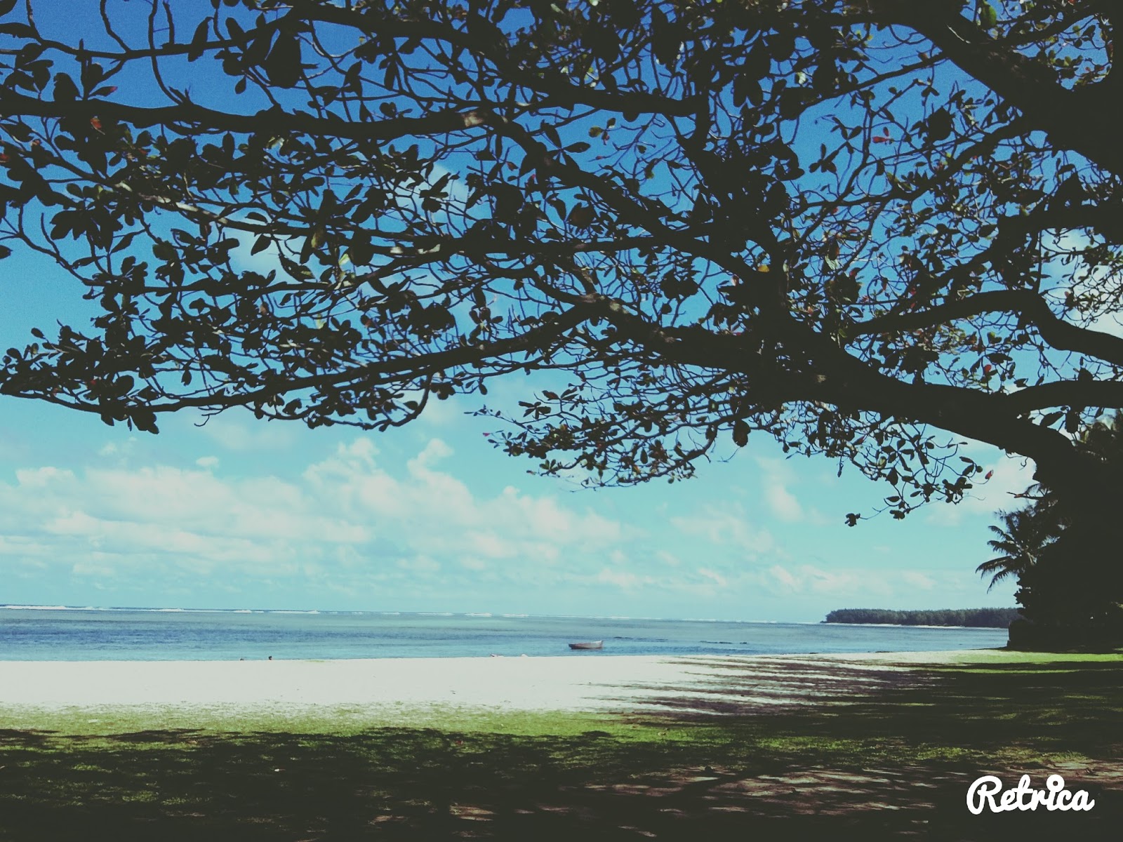
| Nature scenery - Near Nelspruit, Mpumalanga |
About South Africa
South Africa, officially the Republic of South Africa (RSA), is the southernmost country in Africa. It is bounded to the south by 2,798 kilometers of coastline of Southern Africa stretching along the South Atlantic and Indian Oceans; to the north by the neighboring countries of Namibia, Botswana, and Zimbabwe; and to the east and northeast by Mozambique and Eswatini (Swaziland); and it surrounds the enclaved country of Lesotho.
South Africa is the largest country in Southern Africa and the 25th-largest country in the world by land area and, with over 57 million people, is the world's 24th-most populous nation. It is the southernmost country on the mainland of the Old World or the Eastern Hemisphere.
About 80 percent of South Africans are of Sub-Saharan African ancestry divided among a variety of ethnic groups speaking different African languages, nine of which have official status. The remaining population consists of Africa's largest communities of European (White), Asian (Indian), and multiracial (Coloured) ancestry.
The World Bank classifies South Africa as an upper-middle-income economy and a newly industrialized country. Its economy is the second-largest in Africa, and the 34th-largest in the world. In terms of purchasing power parity, South Africa has the seventh-highest per capita income in Africa.
However, poverty and inequality remain widespread, with about a quarter of the population unemployed and living on less than US$1.25 a day.
Nevertheless, South Africa has been identified as a middle power in international affairs and maintains significant regional influence
What does Lonely Planet say about South Africa?
 |
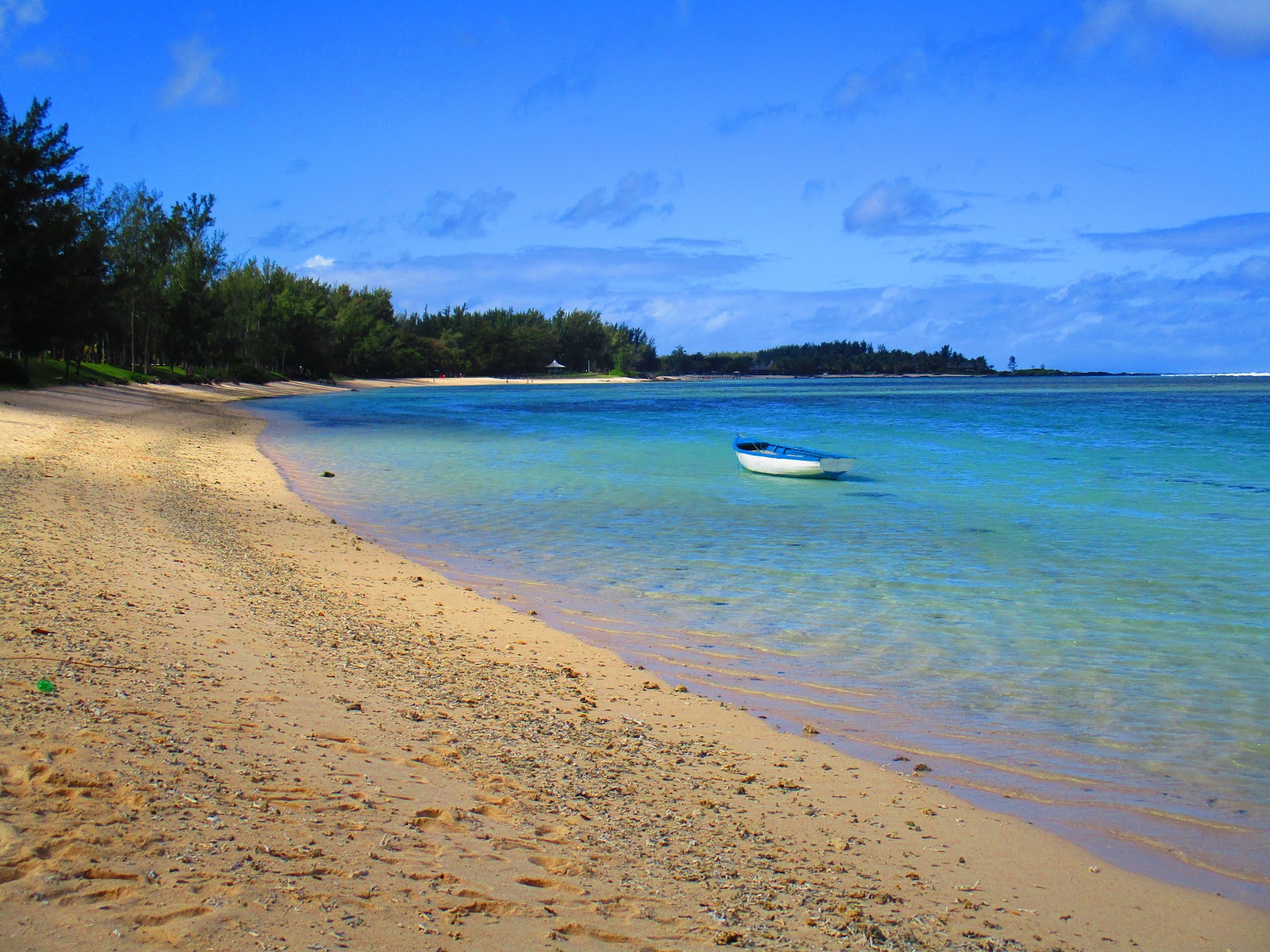
| Nature scenery - Near Nelspruit |
About Mpumalanga
Mpumalanga (Zulu name for "the place where the sun rises") is a province in eastern South Africa, bordering the nations of Swaziland and Mozambique.
It embraces the southern half of Kruger National Park, a huge nature reserve with abundant wildlife including big game.
The province's iconic Blyde River Canyon, among the world’s largest, is known as a green canyon because of its subtropical foliage (Wikipedia).
Picture highlights
 |
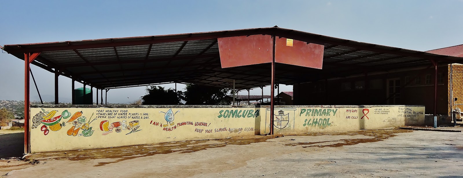
| Somcuba PRIMARY SCHOOL, Kanyamazane in Mpumalanga - Wall painting |
 |
| Somcuba PRIMARY SCHOOL, Kanyamazane in Mpumalanga |
 |
| Somcuba PRIMARY SCHOOL, Kanyamazane in Mpumalanga - Wall painting |
 |
| Somcuba PRIMARY SCHOOL, Kanyamazane in Mpumalanga - Wall painting |
Kanyamazane
 |
| Kanyamazane, Mpumalanga |
 |
| Small tuck shop - Kanyamazane, Mpumalanga |
 |
| Take away - Kanyamazane, Mpumalanga |
 |
| Take away - Kanyamazane, Mpumalanga |
 |
| Small shop - Kanyamazane, Mpumalanga |
 |
| Painted wall menu of Take away - Kanyamazane, Mpumalanga |
 |
| Small tuck shop - Kanyamazane, Mpumalanga |
 |
| African car wash - KKanyamazane, Mpumalanga |
 |
| Hair salon - Kanyamazane, Mpumalanga |
 |
| Fruit and veg - Kanyamazane, Mpumalanga |
 |
| Private residence - Kanyamazane, Mpumalanga |
 |
| Tire shop - Kanyamazane, Mpumalanga |
 |
| Kanyamazane, Mpumalanga |
 |
| The 'World Trade Centre' - Kanyamazane, Mpumalanga |
 |
| Discount store - Kanyamazane, Mpumalanga |
 |
| Small shop - Kanyamazane, Mpumalanga |
 |
| Cell C container phone shop - Kanyamazane, Mpumalanga |
 |
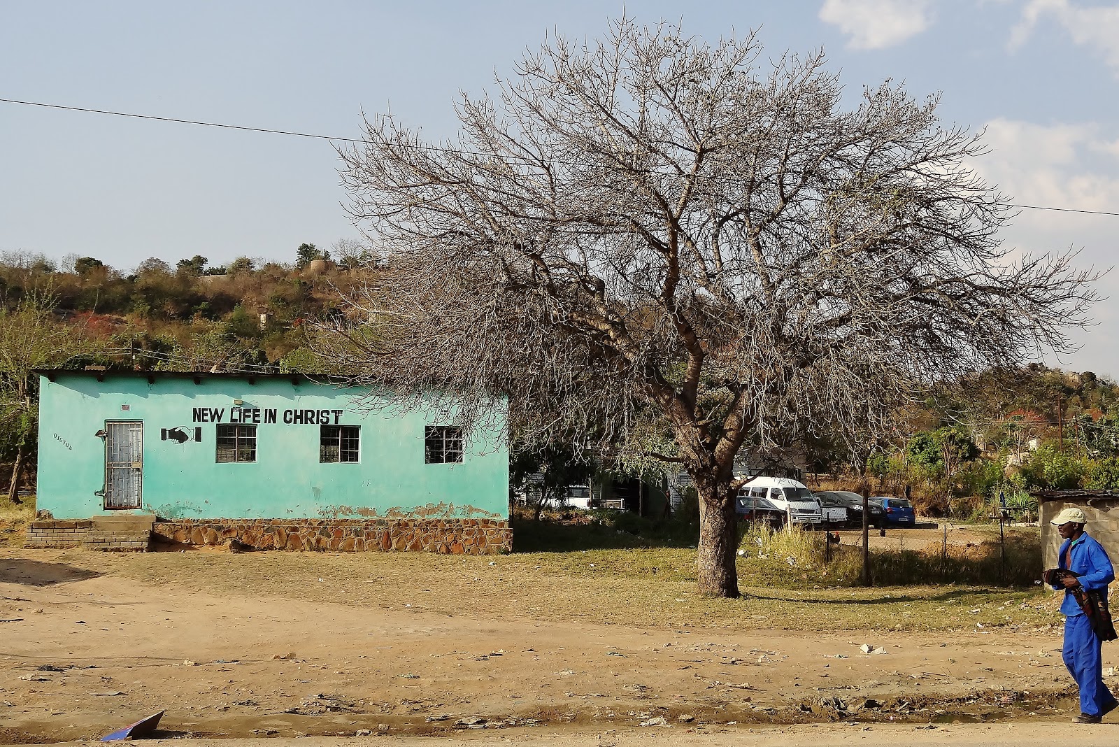
| Church - Kanyamazane, Mpumalanga |
 |
| Church - Kanyamazane, Mpumalanga |
 |
| Kanyamazane, Mpumalanga |
 |
Shoe repair shop - Kanyamazane
|
The road between Kanyamazane and Nelspruit
 |
| Irony – Tell South Africans not to do it and they will go out of their way to do exactly that - Kanyamazane |
 |
| Nature scenery near Nelspruit – Orange farm to the left |
 |
| Nature scenery near Nelspruit – Orange farm to the left |
 |
| Nature scenery near Nelspruit |
 |
| Nature scenery near Nelspruit |
 |
| Nature scenery near Nelspruit |
 |
| Nature scenery near Nelspruit |
 |
| Nature scenery near Nelspruit |
 |
| Nature scenery near Nelspruit |
 |
| Sunset nature scenery near Nelspruit |
 |
| African ‘train’ bus….I saw one with 3 sections |
 |
| Reception - The Guesthouse in Nelspruit I stayed at |
 |
| My bedroom - The Guesthouse in Nelspruit I stayed at |
Training at Somcuba Primary school
 |
| Student training - Somcuba PRIMARY SCHOOL, Kanyamazane in Mpumalanga |
 |
| Student training - Somcuba PRIMARY SCHOOL, Kanyamazane in Mpumalanga |
 |
| Mecer student laptops |
 |
| Eager minds - Somcuba PRIMARY SCHOOL, Kanyamazane in Mpumalanga |
 |
| Student training - Somcuba PRIMARY SCHOOL, Kanyamazane in Mpumalanga |
 |
| Student training - Somcuba PRIMARY SCHOOL, Kanyamazane in Mpumalanga |