Honeymoon in Mauritius
Exploring Mauritius by car
Third Trip - Part 3
26 July 2015
Trip summary
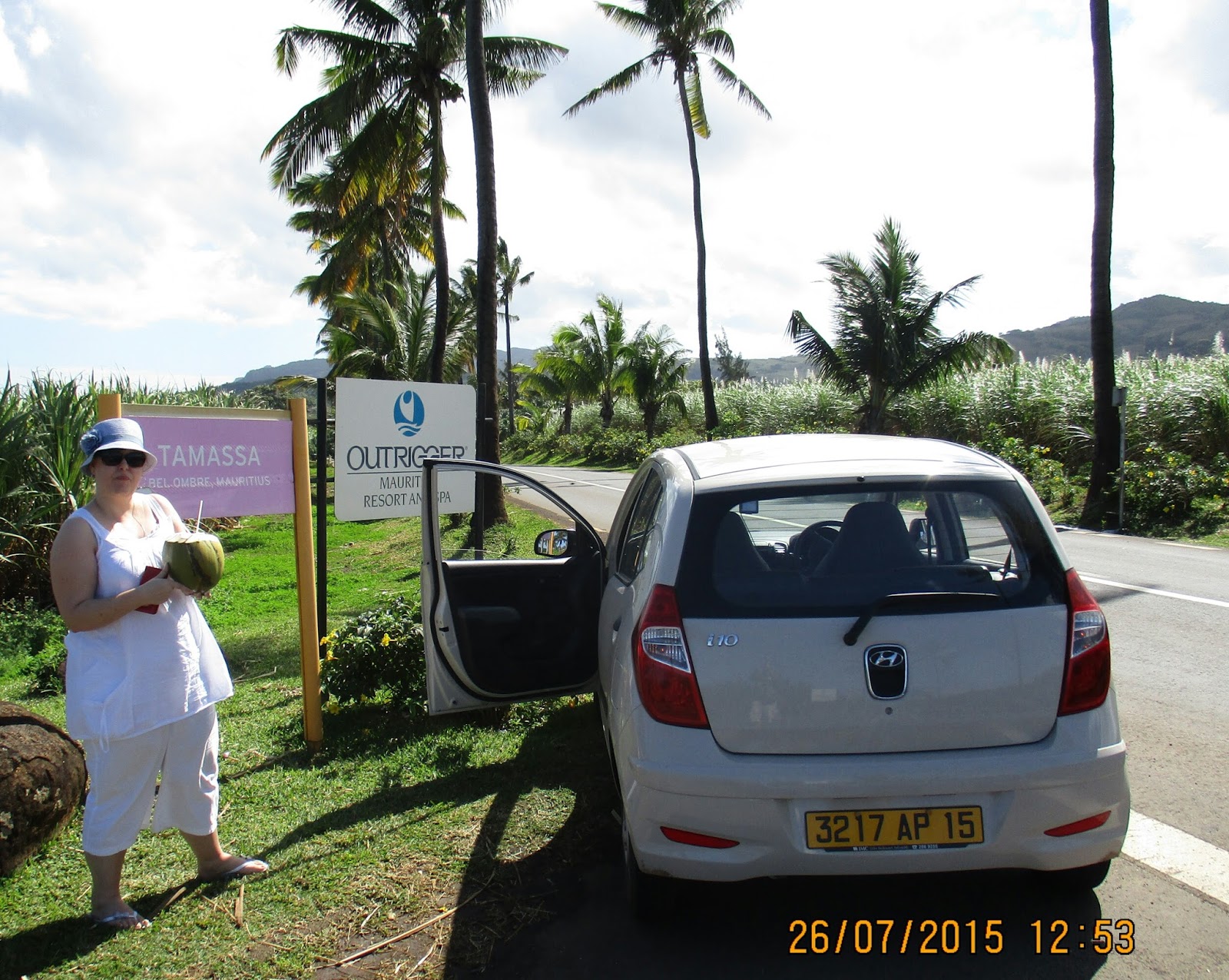
We proceeded towards the Domaine De Bel Ombre, a former sugar estate of Bel Ombre. En-route we stopped at a coconut vendor, selling fresh coconuts next to the road. He cut a hole in the coconuts from which we could drink. The road is lined with Coconut palm trees and it created the perfect atmosphere for enjoying our coconuts.
We then arrived at the Domaine De Bel Ombre, where we explored the main Colonial house and its surrounding gardens. It was lunchtime, and as we approached the town, Belle Ombre, we saw this Belgium Bistro, Bistro Anvers, where we had a seafood dish before we drove on towards the Black River Gorges National Park higher up into the mountains of Central Mauritius.
For the other parts of our adventure click here:
|
|
Road between Rivière des Galets and Belle Ombre
|
Complete Day Trip itinerary
- Sir Seewoosagur Ramgoolam Airport - Part 1
- Saint Aubin Plantation - Riviere des Anguilles - Part 1
- Riambel beach - Part 2
- Rivière des Galets beach - Part 2
- Domaine De Bel Ombre - covered here
- Bel Ombre - covered here
- Chamouny - Part 4
- Black River Gorges National Park - Part 4
- West coast sunset drive - Part 5
NB: Only points 5 & 6 are covered in this post
|
|
Back of the Le Château de Bel Ombre
|
About Mauritius
Mauritius (French: Maurice), officially the Republic of Mauritius, is an island nation in the Indian Ocean about 2,000 kilometers off the southeast coast of the African continent. The country includes the islands of Mauritius and Rodrigues [560 kilometers east of Mauritius], and the outer islands (Agaléga, St. Brandon and two disputed territories). The islands of Mauritius and Rodrigues form part of the Mascarene Islands, along with nearby Réunion, a French overseas department. The area of the country is 2,040 km2. The capital and largest city is Port Louis. Formerly a Dutch colony (1638–1710) and a French colony (1715–1810), Mauritius became a British colonial possession in 1810 and remained so until 1968, the year in which it attained independence. The government uses English as its main language.
The people of Mauritius are multi-ethnic, multi-religious, multicultural and multilingual. The island's government is closely modeled on the Westminster parliamentary system, and Mauritius is highly ranked for democracy and for economic and political freedom. Along with the other Mascarene Islands, Mauritius is known for its varied flora and fauna, with many species endemic to the island. The island is widely known as the only known home of the dodo, which, along with several other avian species, was made extinct by human activities relatively shortly after the island's settlement (Wikipedia).
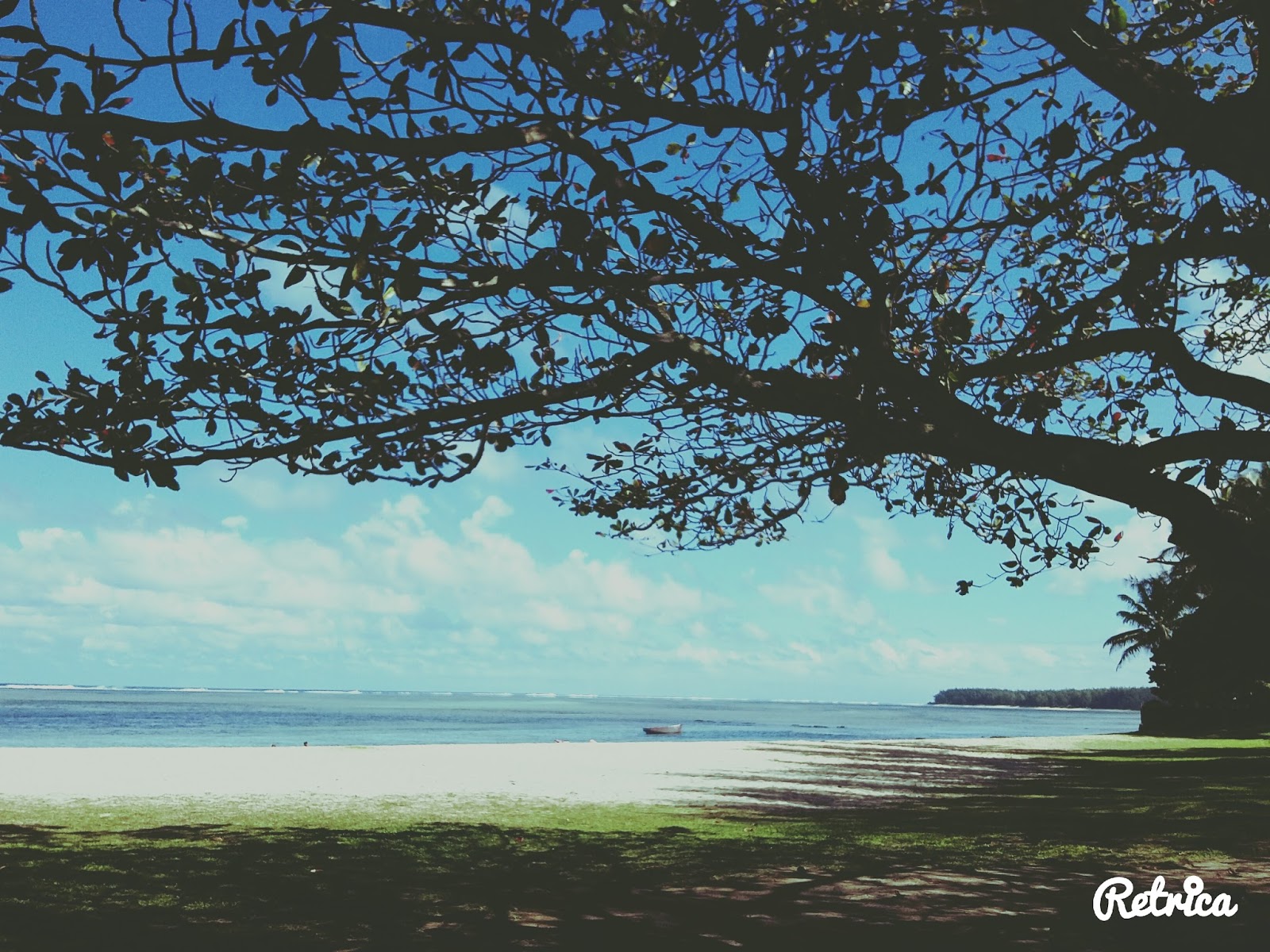
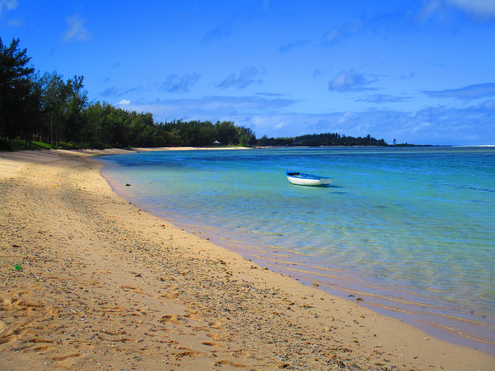
Rivière des Galets to Domaine De Bel Ombre - Road scenery
 |
| Road between Rivière des Galets and Belle Ombre |
 |
| Road between Rivière des Galets and Belle Ombre |
 |
| Road between Rivière des Galets and Belle Ombre |
 |
| The road between Rivière des Galets and Belle Ombre |
Coconut stop
Near the entrance of the Outrigger Mauritius Resort & spa, Tamassa, Bel Ombre
 |
Coconut stop – Tamassa, Bel Ombre
|
 |
Coconut vendor – Tamassa, Bel Ombre
|
 |
| Coconut stop – Tamassa, Bel Ombre |
 |
| Coconut vendor – Tamassa, Bel Ombre |
 |
| Ansu enjoying her real coconut juice |
 |
| Enjoying our coconut juice |
 |
| Coconut stop – Tamassa, Bel Ombre |
 |
| Road between Rivière des Galets and Belle Ombre |
Domaine De Bel Ombre - since 1765
Domaine De Bel Ombre is a 2500 hectares estate in the south-west of Mauritius, near the town of Bel Ombre, that stretches from the mountains to a turquoise lagoon. The former sugar estate was created in 1765. On the estate is the Le Château de Bel Ombre, a colonial house, which dates back to the early 1800's. It was restored and now serves as a restaurant, faithfully restored as a restaurant and venue for functions.
 |
| Le Château de Bel Ombre |
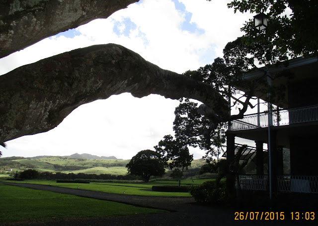 |
| A giant tree next to the Le Château de Bel Ombre |
 |
| Plaque on Le Château de Bel Ombre front porch |
 |
| Panorama of the front area - Le Château de Bel Ombre |
 |
| Back of the Le Château de Bel Ombre |
 |
| A giant tree next to the Le Château de Bel Ombre |
 |
| Giant tree |
 |
| Back porch area of the Le Château de Bel Ombre |
 |
| Back top porch of the Le Château de Bel Ombre with a view of the back garden |
 |
| Back top porch of the Le Château de Bel Ombre with a view of the back garden |
 |
| View of the Le Château de Bel Ombre back garden from the back top porch |
 |
| View of the Le Château de Bel Ombre back garden from the back top porch |
 |
| Garden path & gardens and golf course - Domaine De Bel Ombre |
 |
| Garden path & gardens and golf course - Domaine De Bel Ombre |
 |
| Back top porch of the Le Château de Bel Ombre with a view of the back garden |
 |
| Garden path & gardens and golf course - Domaine De Bel Ombre |
 |
| Garden path & gardens and golf course - Domaine De Bel Ombre |
 |
| View of the Le Château de Bel Ombre from the golf course |
Lunch in Bel Ombre
 |
| Bistro Anvers - Bel Ombre |
|
|
Sitting outside to enjoy the street view
|
 |
| We sat on the tiny sidewalk area outside....cars drove by in the main street |
 |
| Sparkling water - direct translation |
 |
| On the road agian...next stop Chamouny |
View the next chapter of our adventure, by clicking here!